Our guides
Le Marais map, district by district
A map-reading guide to Le Marais, Paris — its eight sub-districts, boundary streets, metro stations, walking times from the place des Vosges and hotels nearby. Checked October 2026.
Reading the map in eight pieces
Our reference map splits the Marais into eight sub-districts. Each one has its own streets and stations, and the distances below start from the place des Vosges, used as a fixed point.
- Haut-Marais (Enfants-Rouges). The north, between the rue des Francs-Bourgeois to the south and the place de la République and boulevard du Temple to the north. Rue du Temple bounds it on the west, boulevards Filles-du-Calvaire and Beaumarchais on the east. Metro: Filles du Calvaire, Temple, Saint-Sébastien–Froissart, République, Arts et Métiers.
- Arts-et-Métiers. From boulevard Saint-Denis down to rue de Turbigo and rue des Gravilliers, with boulevard de Sébastopol on the west and rue du Temple on the east. Metro: Arts et Métiers, Réaumur–Sébastopol, Strasbourg–Saint-Denis, Temple.
- Archives. The heart of the northern Marais, in the 3rd: rue des Francs-Bourgeois to the south, boulevard Beaumarchais to the east, rue des Archives to the west. Metro: Rambuteau, Saint-Paul, Saint-Sébastien–Froissart, Chemin Vert, Hôtel de Ville.
- Rue des Rosiers (the Pletzl). The historic Jewish quarter and, along rue Sainte-Croix-de-la-Bretonnerie, the LGBT+ Marais. Wikipedia gives the street as 303 metres long, from no. 13 rue Malher to no. 40 rue Vieille-du-Temple. See our Jewish quarter guide and the rue des Rosiers page.
- Saint-Paul. From rue Saint-Antoine and rue François-Miron down to the quai des Célestins, around the Village Saint-Paul. Metro: Saint-Paul, Pont Marie, Sully-Morland.
- Place des Vosges. Rue des Francs-Bourgeois and rue du Pas-de-la-Mule to the north, boulevard Beaumarchais to the east, rue Saint-Antoine to the south. Metro: Chemin Vert, Bastille, Saint-Paul, Bréguet-Sabin. See the place des Vosges guide.
- Hôtel de Ville and Beaubourg (Saint-Merri). Rue Rambuteau to the north, the Seine to the south, boulevard de Sébastopol to the west. Metro: Hôtel de Ville, Châtelet, Châtelet–Les Halles, Rambuteau.
- The islands. The Île Saint-Louis and the eastern end of the Île de la Cité; the western end, with the Sainte-Chapelle and the Conciergerie, belongs to the 1st arrondissement. According to Wikipedia’s entry on the Notre-Dame quarter, the Île Saint-Louis covers 11 hectares, 525 by 250 metres. See Île Saint-Louis.
Distances from the place des Vosges
The distances are straight lines from the place des Vosges; the walking time multiplies them by 1.3 and walks them at 80 metres a minute, so treat every time as an estimate.
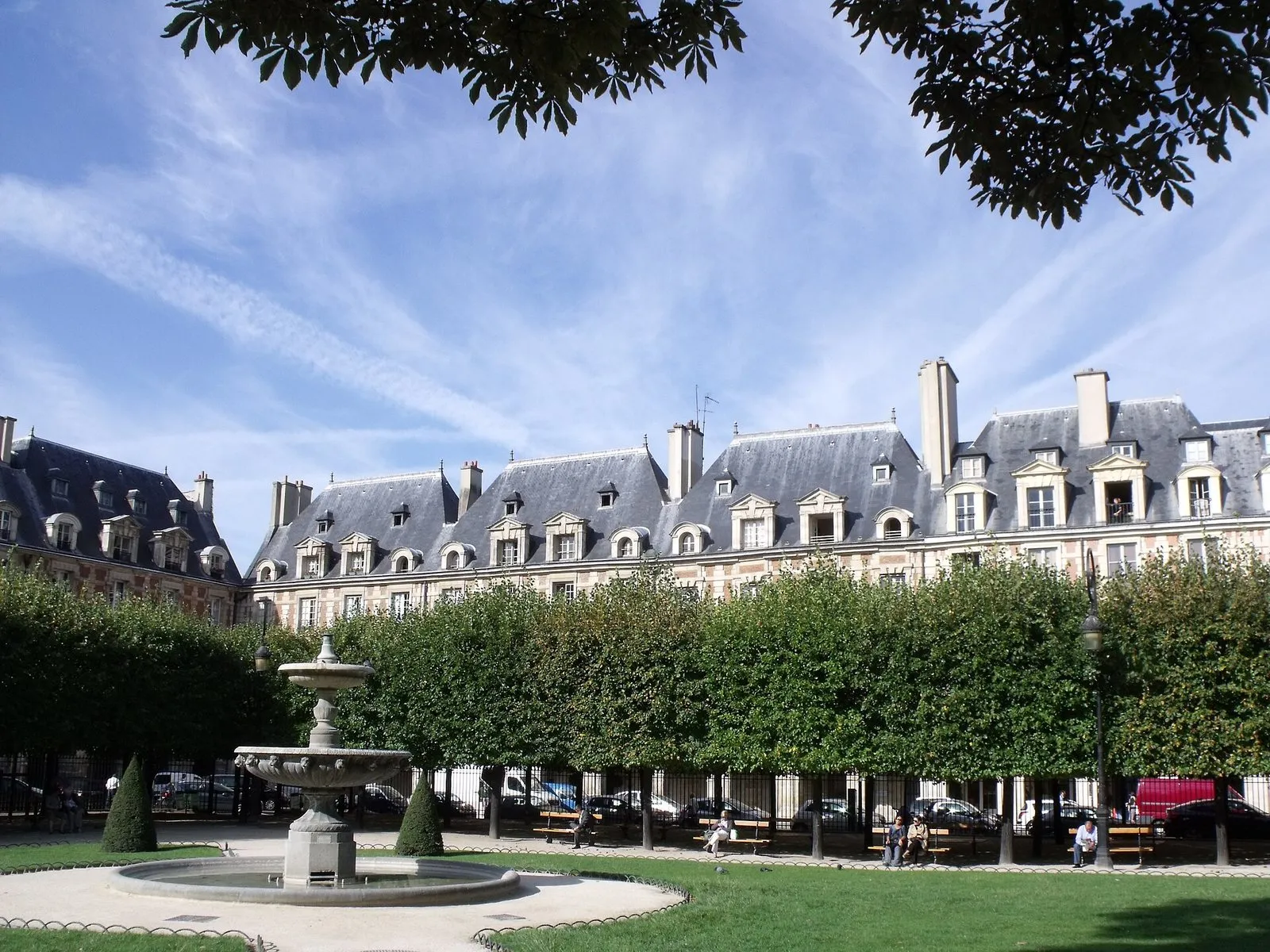
Photo: Alex59300, CC BY-SA 3.0, via Wikimedia Commons

| Landmark | Straight line | Walking time |
|---|---|---|
| Musée Carnavalet | 274 m | 4 min |
| Rue des Rosiers (no. 1) | 333 m | 5 min |
| Village Saint-Paul | 332 m | 5 min |
| Musée Picasso | 524 m | 9 min |
| Shoah Memorial | 676 m | 11 min |
| Île Saint-Louis (Berthillon) | 758 m | 12 min |
| Archives nationales | 794 m | 13 min |
| Marché des Enfants-Rouges | 883 m | 14 min |
| BHV Marais | 893 m | 15 min |
| Hôtel de Ville | 958 m | 16 min |
| Centre Pompidou (closed) | 1,189 m | 19 min |
| Arts et Métiers museum | 1,371 m | 22 min |
How wide the area really is
We measured the 19 landmarks of our base, leaving out Notre-Dame, which belongs to the islands. The widest straight-line distance between two of them is 1,442 metres, from the Musée des Arts et Métiers to the Maison de Victor Hugo. Next come 1,421 metres from the Arts et Métiers to the Village Saint-Paul and 1,395 metres from the Arts et Métiers to the Hôtel de Sully. The median distance between two landmarks is 573 metres. At our walking pace of 80 metres a minute, with the 1.3 detour factor, 1,442 metres takes about 24 minutes. The district can therefore be crossed on foot in under half an hour at its widest.
Which lines serve which sub-district
This table comes from our area data and lists, for each sub-district, the stations we attach to it. A line counts for a sub-district if one of its stations is on that line.
| Sub-district | Stations | Lines |
|---|---|---|
| Haut-Marais | 5 | 3, 5, 8, 9, 11 |
| Arts-et-Métiers | 5 | 3, 4, 5, 8, 9, 11 |
| Archives | 5 | 1, 8, 11 |
| Rue des Rosiers | 4 | 1, 7, 11 |
| Saint-Paul | 3 | 1, 7 |
| Place des Vosges | 4 | 1, 5, 8 |
| Hôtel de Ville and Beaubourg | 5 | 1, 4, 7, 11, 14, and RER A, B and D |
| Islands | 6 | 1, 4, 7, 11, 14, and RER B and C |
Counted the other way round, lines 1 and 11 each reach six of the eight sub-districts, lines 7 and 8 four, lines 4 and 5 three, and lines 3, 9 and 14 two. Line 8 does not stop at République from 22 July 2026 to April 2027, which affects the Haut-Marais and Arts-et-Métiers lists, where République appears. The islands’ list includes a line 4 station that is closed; check the works notice before you choose it.
Two reading rules for the map
First, the sub-districts overlap. The place des Vosges stands on the boundary between the 3rd and the 4th, and Saint-Paul and the rue des Rosiers share the Saint-Paul station. Second, the distances in the table above are from the place des Vosges only. From the Hôtel de Ville or Saint-Paul, the same landmarks are at other distances, so use the guide of the landmark itself for the figures from its own address.
Landmarks by sub-district
Our base places each of its 20 landmarks in one sub-district. Saint-Paul and the Haut-Marais hold four each, the Hôtel de Ville sector and Archives three each, the rue des Rosiers and the place des Vosges two each, and Arts-et-Métiers and the islands one each.
- Saint-Paul: the Village Saint-Paul, the Hôtel de Sully, the Shoah Memorial and the church of Saint-Paul-Saint-Louis.
- Haut-Marais: the Carnavalet Museum, the Cognacq-Jay Museum, the Marché des Enfants-Rouges and the Picasso Museum.
- Hôtel de Ville and Beaubourg: the Hôtel de Ville, the Centre Pompidou and the BHV Marais.
- Archives: the Museum of Hunting and Nature, the Museum of Jewish Art and History and the Archives nationales.
- Rue des Rosiers: the rue des Rosiers and the Bibliothèque historique de la Ville de Paris.
- Place des Vosges: the place des Vosges and the Maison de Victor Hugo.
- Arts-et-Métiers: the Musée des Arts et Métiers.
- Islands: Notre-Dame de Paris.
The sub-districts are working categories of our base, not administrative borders; a landmark near a boundary could sit in either.
What has changed on the map in 2026
- The Centre Pompidou is closed for renovation; reopening is announced for 2030, with no precise date.
- The Village Saint-Paul is open, but its landlord, the RIVP, is refurbishing the buildings and inner courtyards; expect scaffolding and altered passages. No schedule is published.
- Line 8 trains do not stop at République from 22 July 2026 until April 2027.
- The Hôtel de Ville does not take individual visitors inside until further notice (paris.fr, updated 26 January 2026).
Where to sleep on the map
The 3rd and 4th arrondissements each have a hotel list: hotels in the 3rd and hotels in the 4th. For a sub-district, see hotels on and near the place des Vosges, hotels around rue Saint-Paul or hotels near the Hôtel de Ville. The wider quarter is in our Le Marais guide.
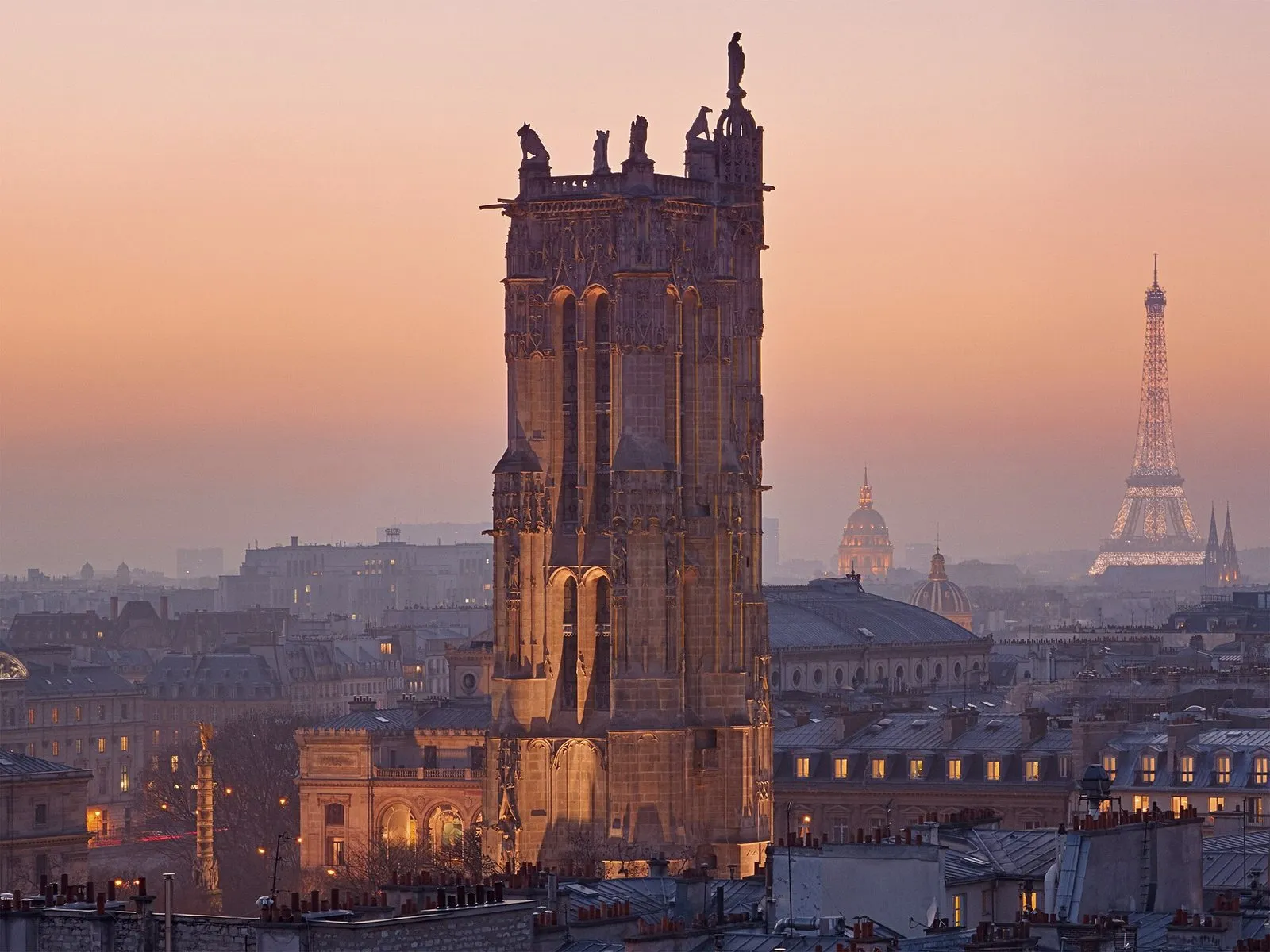
Photo: Fabien Barrau, CC BY-SA 4.0, via Wikimedia Commons

History and distinctive features
- Le Marais is not an administrative district but the everyday name for the eastern part of the 3rd and 4th arrondissements. Source : fr.wikipedia.org
Frequently asked questions
Where exactly is Le Marais on a map of Paris?
On the Right Bank, in the east of the 3rd and 4th arrondissements. Its everyday limits run from the place de la République in the north to the quai des Célestins on the Seine in the south, with the Île Saint-Louis counted as its southern extension in the island sub-district.
How big is the Marais on foot?
From the place des Vosges, the Mémorial de la Shoah is 676 metres away as the crow flies (about 11 minutes on foot), the Village Saint-Paul 332 metres (5 minutes) and the Musée des Arts et Métiers 1,371 metres (22 minutes). The times are estimates, not a GPS route.
Which metro stations serve the district?
Rambuteau (line 11), Hôtel de Ville (lines 1 and 11), Saint-Paul (line 1), Pont Marie and Sully-Morland (line 7), Chemin Vert (line 8), Bastille (lines 1, 5 and 8), Bréguet-Sabin (line 5), and in the north République, Temple and Arts et Métiers.
Is the Marais in the 3rd or the 4th arrondissement?
Both. The place des Vosges itself straddles the two, and the rue des Francs-Bourgeois marks the usual line between the 3rd to the north and the 4th to the south in the Archives and Rosiers sub-districts.
Which part of the map is closed or changing in 2026?
The Centre Pompidou is closed for renovation, the Village Saint-Paul is under refurbishment by its landlord, and the BHV Marais department store, at 2 October 2026, is open but being restructured since June 2026.
How long does it take to walk across Le Marais?
The widest straight-line distance between two of our landmarks, leaving out Notre-Dame, is 1,442 metres, from the Musée des Arts et Métiers to the Maison de Victor Hugo, about 24 minutes on foot by our method.
Which metro lines serve most of the Marais sub-districts?
Lines 1 and 11 each reach six of the eight sub-districts in our area data, and lines 7 and 8 reach four.
Which sub-district holds the most landmarks?
Saint-Paul and the Haut-Marais, with four of our 20 landmarks each.